Altitude : 1520m/4987ft Dagana is located in the southern part of the country and is a verdant region with over 80% of the district is under forest cover. Hardy trees...
View Details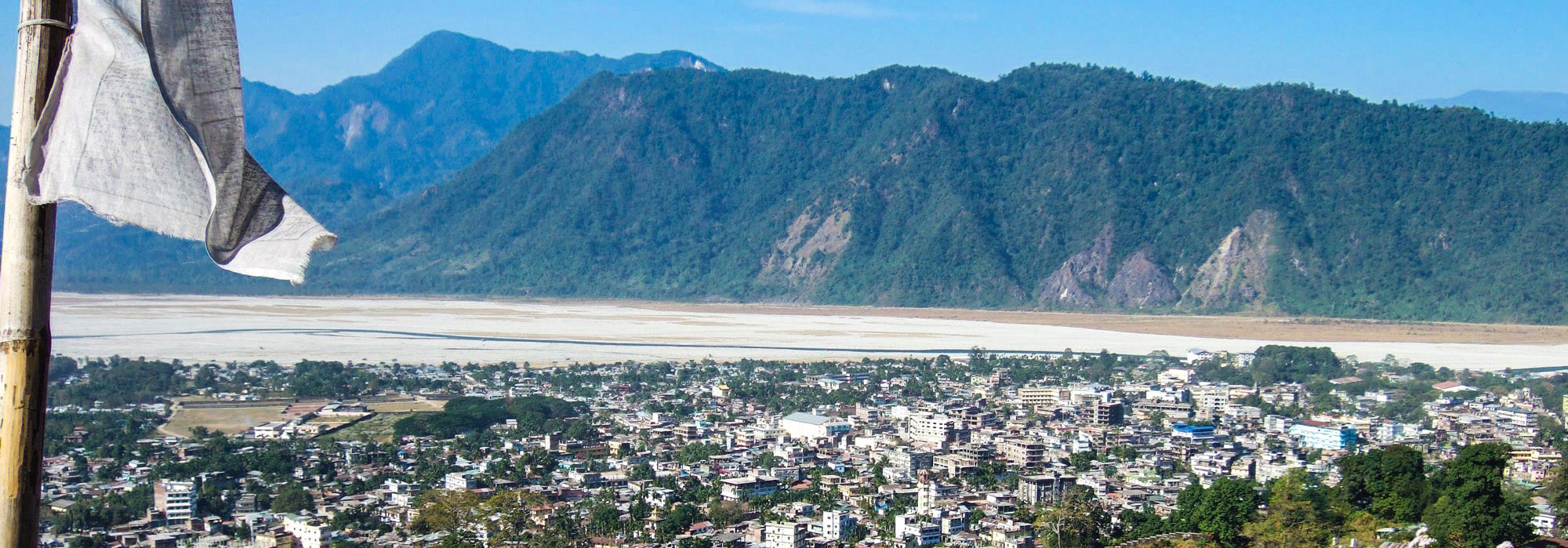
Altitude : 1829m/6000ft Chukha is the commercial and the financial capital of Bhutan. With Bhutan’s oldest hydropower plant, Chukha hydel (completed in 1986-88), and Tala Hydroelectricity Project, the country’s largest...
View Details
Altitude : 2000m/6562ft Located in Southern Bhutan, Samtse borders Indian states of West Bengal and Sikkim. It has an altitude range of 600m-3800m. Samtse has the third highest population in...
View Details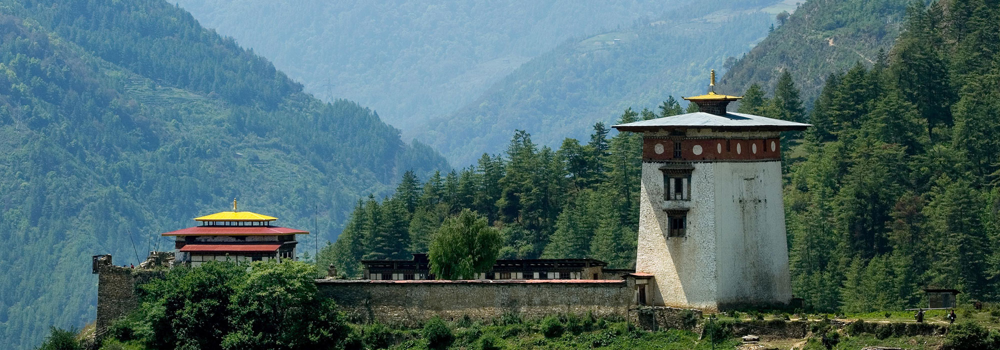
Altitude : 3200m/10496ft Haa is the smallest Dzongkhag in the country covering an area of roughly 1706 sq. km. This valley remains one of the least visited areas in the...
View Details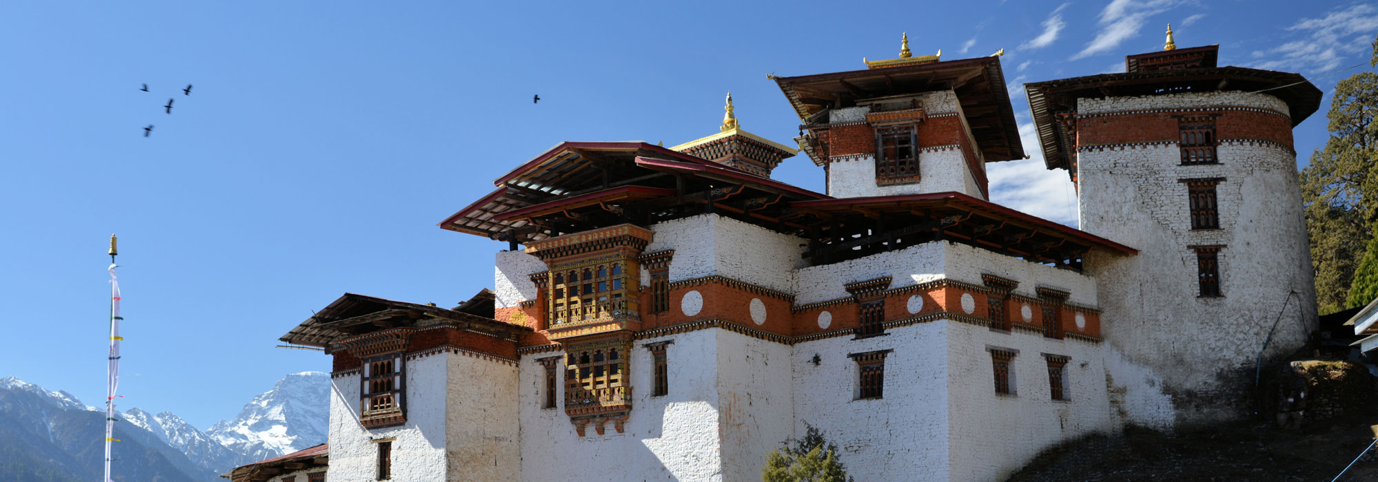
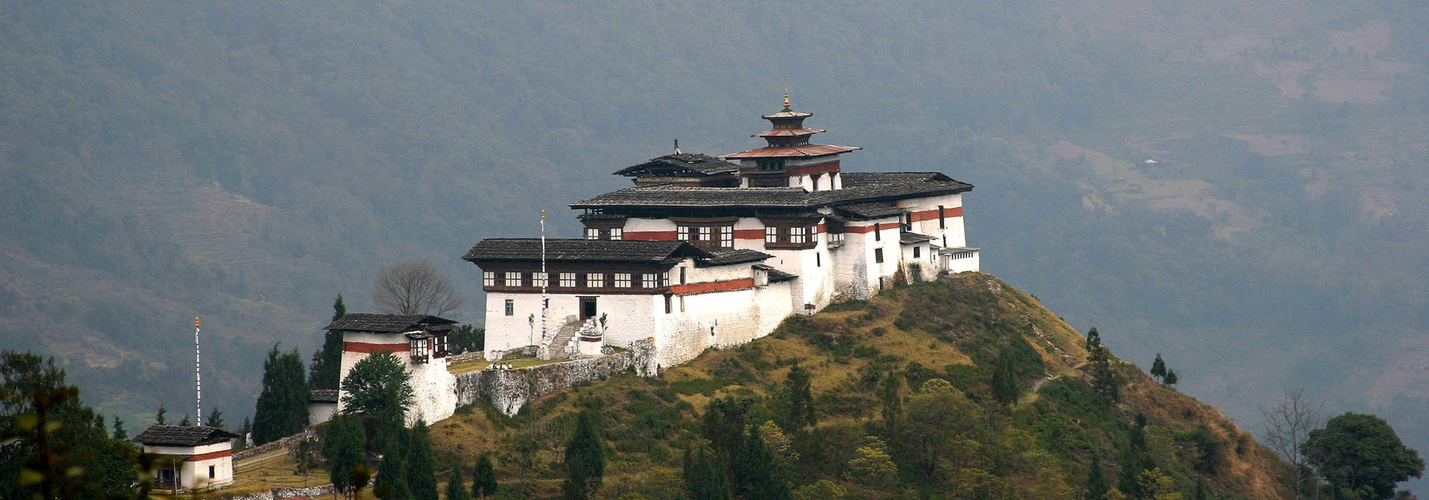
Altitude : 2700m/8858ft Gasa, the northernmost district of the country adjoins the districts of Punakha, Thimphu and Wangduephodrang, and with Tibet to its north. This starkly beautiful region with elevations...
View Details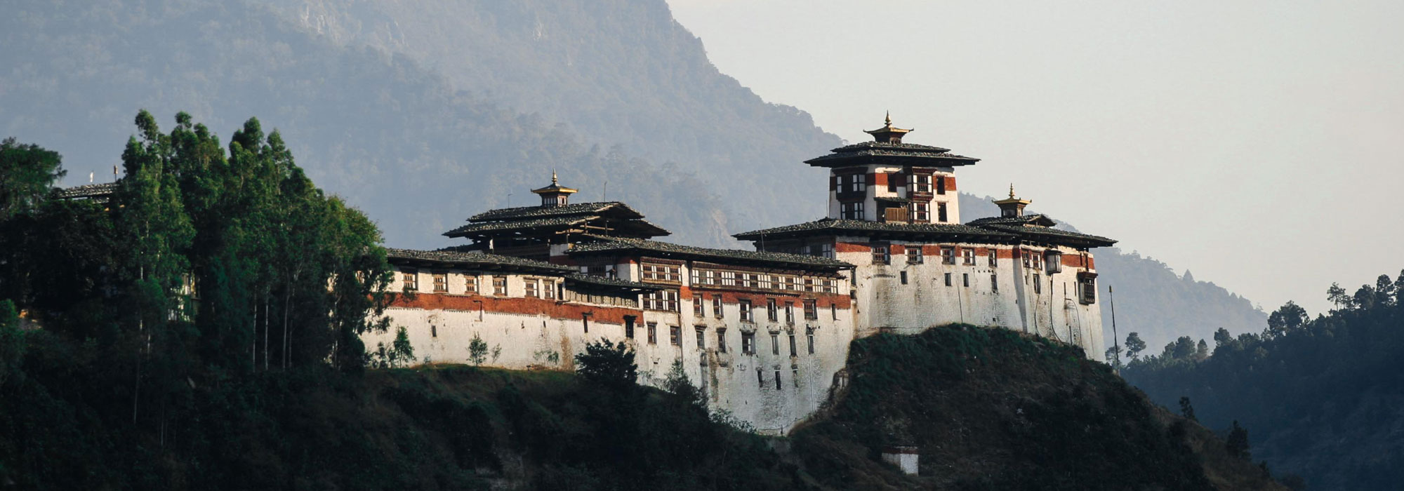
Altitude : 1300m/4265ft Wangduephodrang is one of the largest dzongkhags (districts) in the country covering 4308 sq km. Wangduephodrang district holds strong historic importance to Bhutan as it was the...
View Details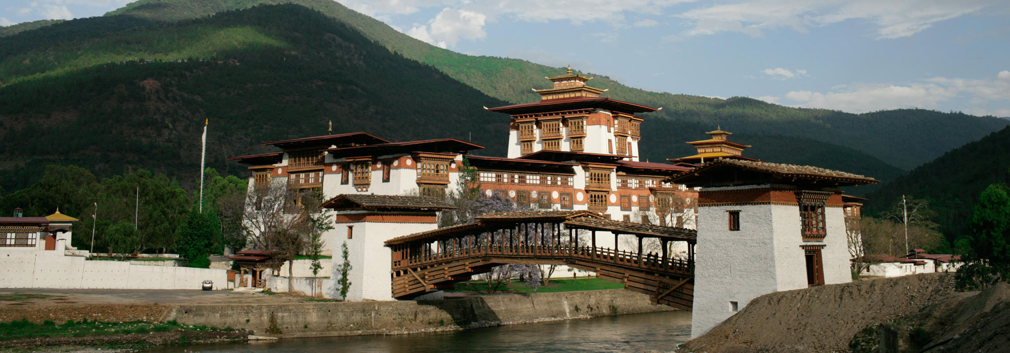
Altitude: 1310m/4300ft Punakha served as the capital of the country from 1637 to 1907 and has been inextricably linked with momentous occasions in Bhutanese history. Punakha is the winter...
View Details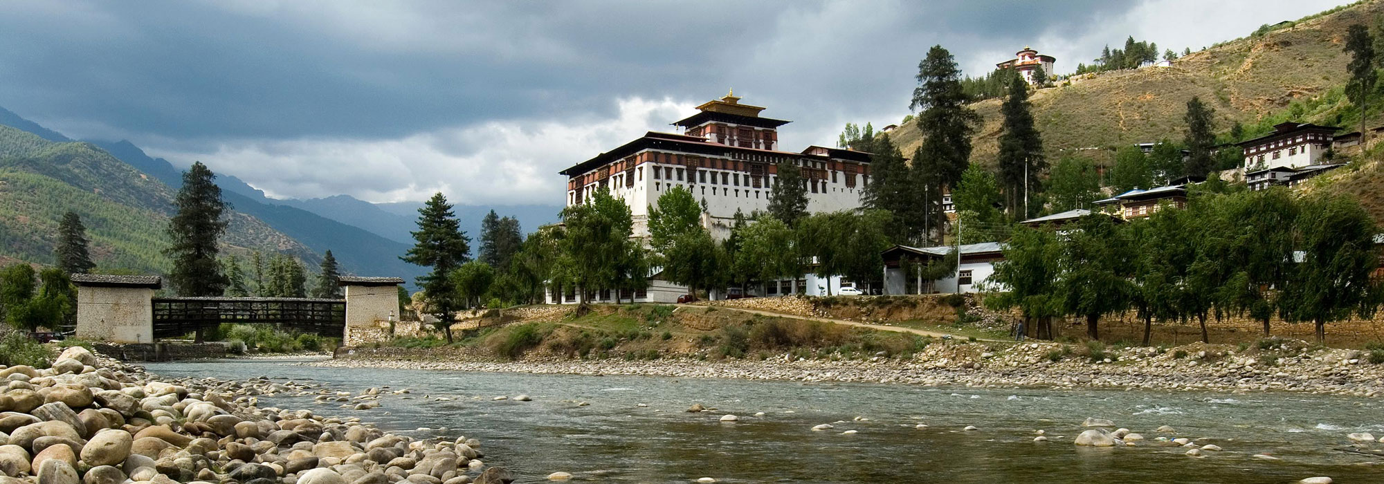
Altitude : 2250m /7382ft Paro valley extends from the confluence of the Paro Chhu and the Wang Chhu rivers at Chuzom upto Mt. Jomolhari (7214m/23,668ft) at the Tibetan border to...
View Details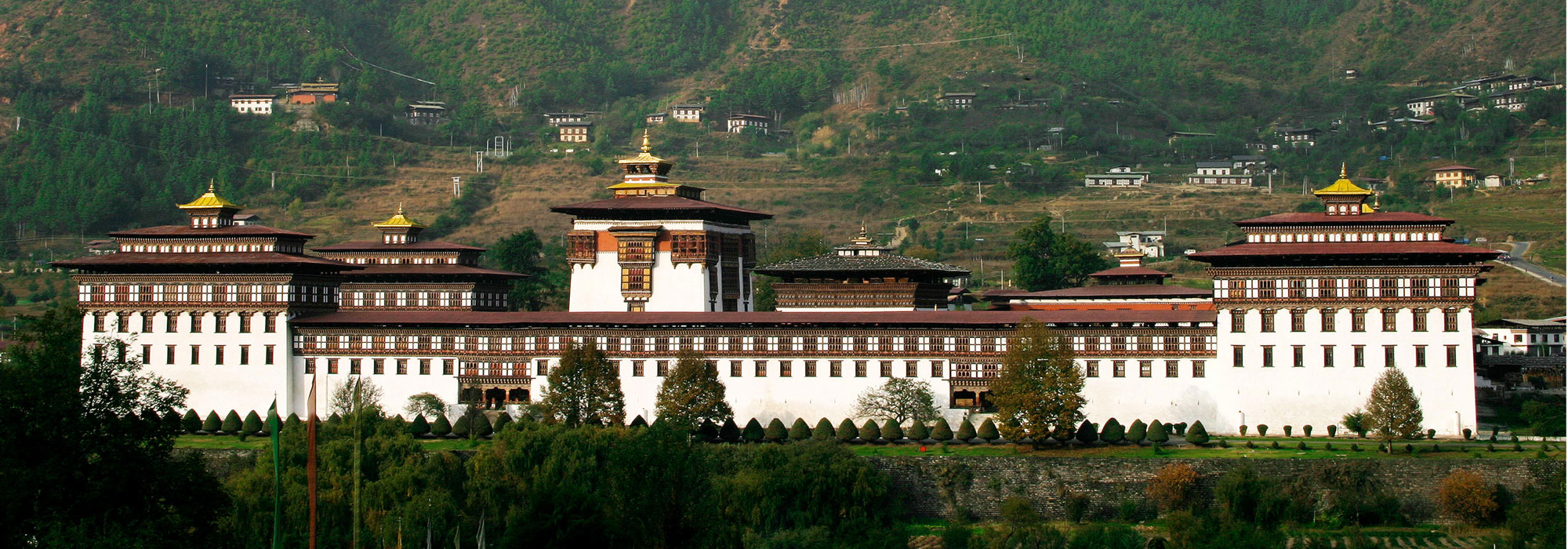
Altitude : 2400m/7875ft The Kingdom’s capital city is home to approximately 100,000 inhabitants including the Royal family. This bustling little city is the main center of commerce, religion, and government...
View Details